An overview of the rsi R package for retrieving satellite imagery and calculating spectral indices
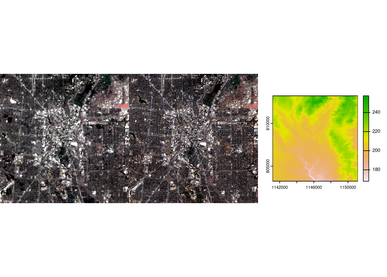
rsi is a recent R package developed by Michael Mahoney and funded by Permian Global Research. It offers features that simplify the process of acquiring spatial data from STAC (SpatioTemporal Asset Catalog) and calculating spectral in...
Continue reading: An overview of the rsi R package for retrieving satellite imagery and calculating spectral indices
http://dlvr.it/T19rVm


تعليقات
إرسال تعليق